file:Arunachal Pradesh locator map.svg
Jump to navigation
Jump to search

Size of this PNG preview of this SVG file: 734 × 600 pixels. Duusra resolutions: 294 × 240 pixels | 587 × 480 pixels | 940 × 768 pixels | 1,253 × 1,024 pixels | 2,506 × 2,048 pixels | 2,393 × 1,956 pixels
Original file (SVG file, naam kare ke khatir 2,393 × 1,956 pixels, file size: 263 KB)
| Title |
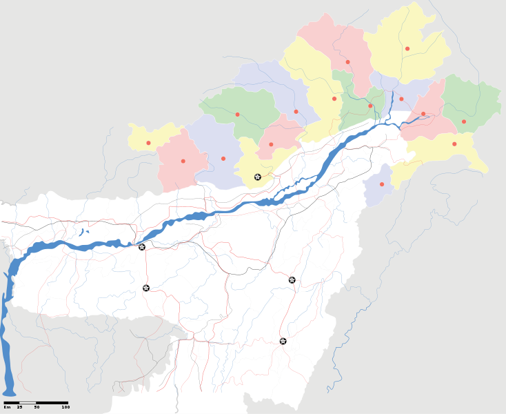
Arunachal Pradesh locator Map. Coordinates: top=29.49, bottom=23.74, left=89.61, right=97.52. |
||
| Description |
Map of w:Arunachal Pradesh with road and rail lines |
||
| Taarik | |||
| Source |
Aapan kaam |
||
| Creator |
|
||
| Adhikaar (Ii file ke fir se kaam me laawa jaae hai) |
I, the copyright holder of this work, hereby publish it under the following license: ii file ke Creative Commons Attribution-Share Alike 3.0 Unported license ke niche licence karaa gais hai.
|
||
| Geotemporal data | |||
| Date depicted | second half of 20 century aur 21 century | ||
| Georeferencing | If inappropriate please set warp_status = skip to hide. | ||
| Archival data | |||
| Notes | Part of WikiProject India Maps | ||
derivative works
Derivative works of this file: India Arunachal Pradesh location map.svg
File ke itihaas
File ke dekhe khatir, jaise uu time dekhe me lagat rahaa, date/time pe click karo.
| Din/Time | Chhota chapa | Lambai aur chaurai | Sadasya | Tiprrin | |
|---|---|---|---|---|---|
| abhi waala | 00:34, 17 Aprel 2007 | | 2,393 × 1,956 (263 KB) | wikimediacommons>Planemad | {{WikiProject_India_Maps |Title=Arunachal Pradesh locator Map |Description=Map of w:Arunachal Pradesh with road and rail lines |Source= [http://www.iitg.ernet.in/rcilts/assam_political.jpg IIT Guwahati - Assam Political map], [http://arunachalgovernor |
File ke kaise kaam me lawa gais hae
Niche ke panna kaam me laae hai ii file ke: